
Trace a Prior Lake Street
A street-by-street search in Prior Lake works best as a chain, not as a household list. First preserve the complete address and returned ZIP. Then use the parcel, map, land-record, and dated local-history sources for the specific question. Scott County’s sources distinguish a primary taxpayer display, a legal transfer, a permit event, and a historical mention. Each can point to a different person or entity. For a row of homes, repeat the same address-first method one parcel at a time and retain the date shown by each source.
- Run the address through the USPS ZIP Lookup and preserve the standardized street, unit, postal city, state, and ZIP.
- Search Scott County Property Information by house number and the first characters of the street name, or by a nine-digit PID, but not both together.
- Open ScottGIS SG3 to compare the parcel outline with municipality, ZIP, precinct, road, and adjacent-parcel layers.
- Use the current PID, legal description, and transfer date to search RecordEASE for land instruments and related documents.
- For a dated household lead, ask the Scott County Historical Society or library about newspapers, maps, census material, and directories for the exact period.
The address-trail process is narrower than a broad name search. For Prior Lake, its strongest result is an evidence trail for one address, such as a parcel boundary, a recorded transfer, or a dated public mention. It is not a promise that every person connected with an address was present at the same time.
Prior Lake Address Checks
Prior Lake mail service reaches beyond the municipal boundary. The City planning material says the Prior Lake Post Office serves the City, the Shakopee Mdewakanton Sioux Community, Credit River Township, Spring Lake Township, parts of Cedar Lake Township, and parts of Savage and Shakopee. A Prior Lake mailing line is therefore a routing result, not a jurisdiction finding. USPS standardization is still valuable because a missing unit, a different suffix, or an old rural-route form can prevent a sound parcel match.
Record the USPS result beside the Scott County PID and legal municipality. The first two PID digits are a useful starting clue: 25 indicates the City of Prior Lake, 03 Cedar Lake Township, 11 Spring Lake Township, 26 Savage, 27 Shakopee, and 49 Credit River Township. Confirm the clue in SG3 and the legal description. For SMSC property, the City notes that permits are handled by SMSC.
Note: A postal city, ZIP, PID prefix, and municipal boundary answer different questions, so retain all four when documenting a Prior Lake address.
Prior Lake Parcel Search Fields
Scott County Property Information is the main current-address route for a Prior Lake address search. It accepts either an address search or the nine-digit Property ID. The county says the address search uses the house number and first characters of the street name, and the page defaults to the current payable tax year. Save the query type and tax-year setting with the result so a later search can be repeated correctly.
| Property Information field | Use for a Prior Lake address |
|---|---|
| House number and street characters | Address route; enter this instead of a PID. |
| Nine-digit PID | Parcel route; enter all nine digits without spaces. |
| Property and mailing address | Separates the physical parcel from the tax-billing destination. |
| Legal description and building features | Connects the street location to the land record and parcel context. |
| Tax, valuation, document, and eCRV leads | Provides administrative and recorded-document leads, each with its own date and purpose. |
The Property Information search is shown in the official capture below. The display is reference-only, updated weekly, and may show one primary taxpayer even where several taxpayers exist. Scott County says it does not verify ownership in that display, so a taxpayer name should be checked against the land record before describing a transfer.
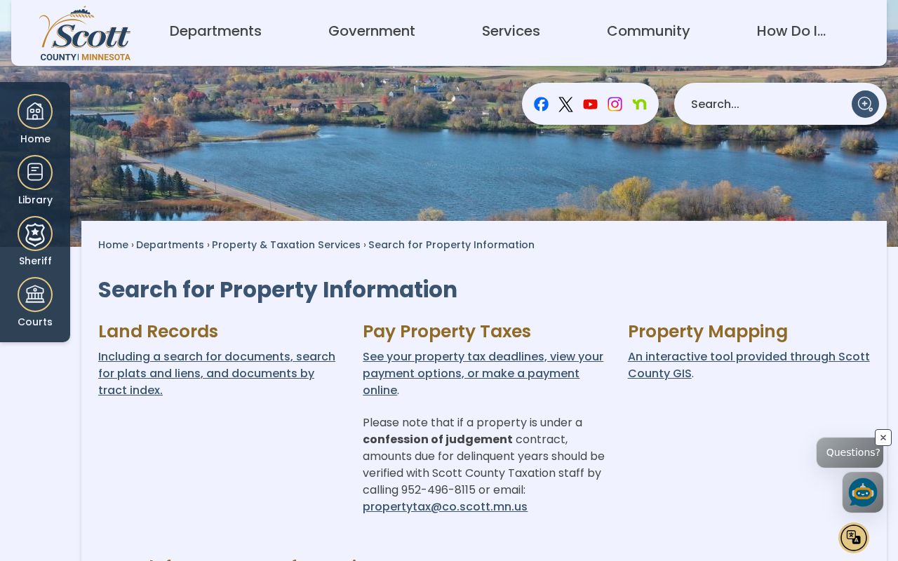
A parcel result is a strong anchor for a street location, yet it remains an administrative record with a payable-year setting. Pair it with its displayed date, PID, and legal description.
Map a Prior Lake Street
SG3 supplies the geography that a street name cannot. Its official layers include parcels, ZIP Codes, polling precincts, municipalities, school districts, and watershed boundaries. The viewer’s query, drawing, buffer or parcel-selection, measure, and export tools help compare a street segment with a lot line, lake frontage, road right-of-way, or shared plat. The live interface is dynamic, so preserve the map date and any exported view with the search notes.
Use the map before sending a request to a municipal office. South Shore and Vergus can remain township areas despite using Prior Lake postal service, and the City’s annexation material says those addresses did not change. A street that appears continuous can cross a township, ZIP, precinct, or shoreline boundary. For historical work, compare the modern parcel with the Historical Society’s county maps and plats rather than forcing an older legal description into a current street label.
This is the Prior Lake geography layer: map adjacency is a physical relationship, not proof of a social relationship or shared household.
Prior Lake PID Jurisdiction Clues
A PID is a practical routing tool in Prior Lake address research, especially where one street, shoreline, or postal route nears another government boundary. The first two digits point to the jurisdiction pattern documented by the City: 25 for the City of Prior Lake, 03 for Cedar Lake Township, 11 for Spring Lake Township, 26 for Savage, 27 for Shakopee, and 49 for Credit River Township. The prefix is a clue, not a final legal conclusion.
Check that clue against the SG3 municipality layer, the legal description, and the event date. A City permit request belongs with the City only when the parcel and record period support that route. South Shore and Vergus can retain township status while using Prior Lake postal service, and SMSC property follows its own permit route. Saving the PID, map date, and source date prevents a street search from sending a question to the wrong custodian.
Deeds Along Prior Lake Streets
Once the parcel is fixed, RecordEASE is the Prior Lake address route for recorded land documents. The county says its computerized index begins in late 1966. It supports parcel, document, related-document, plat, lien, and tract research for covered materials. Abstract and Torrens documents, abstract book/page material, plats, tract pages, and certificates of title have different coverage and image conditions. The online index does not combine assessment, permit, GIS, or other non-land records.
For each instrument, capture grantor, grantee, document type, recording date, document number, legal description, related document, and Abstract or Torrens context. A mortgage, release, lien, or certificate can explain a land record without showing a transfer. If the online result stops before the needed era, contact Scott County Land Records at 200 4th Ave W in Shakopee, call 952-496-8150, or ask about in-office help and manual, tract, book/page, or microfiche research. The office also handles plats and priority documents.
- Parcel
- A defined piece of land in the county system, identified by a PID and legal description.
- Situs address
- The physical location of the parcel, which can differ from a mailing address.
- Plat
- A recorded map that lays out lots, blocks, roads, or a subdivision.
- Criss-cross directory
- An address-arranged directory that can give a dated household or business listing where one exists.
Prior Lake Permit and Tax Trails
Permit history can date work at a Prior Lake address, but it should be labeled as a work event. The City directs post-2018 permit research to BS&A. Older material belongs with City records or a focused Minnesota Government Data Practices Act request. A permit may name an applicant, contractor, or owner field; it does not by itself establish a household at the address. Building permits can be reached at 952-447-9850, and the City lists permits@PriorLakeMN.gov for the municipal route.
For older valuation, tax, or custom parcel material, use the county’s property-information request route rather than treating a current card as a historical record. It covers historical and archived tax data, custom parcel data, delinquent-tax and forfeited-land lists, audits and certificates, and other defined research. Property & Taxation can also be reached at 952-496-8115. Ask for existing public fields, the address or PID, and a narrow date range.
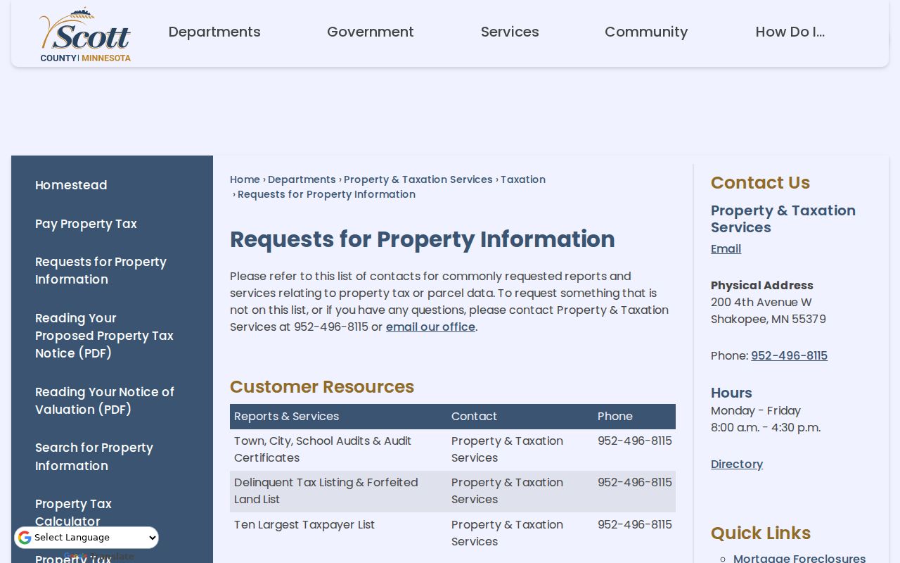
The county request menu is useful when the needed Prior Lake year is not available in the standard display. It also creates a clear record of what was requested and what the county supplied.
Note: A defined address, PID, date range, and record type make a Prior Lake request more precise than asking an agency for a new list of names.
Prior Lake Street Record Coverage
Several official systems can be searched by street or connected through the address, but they do not report the same thing. The table separates their roles so a Prior Lake street-record search does not turn a map label, taxpayer display, or permit entry into an unsupported claim. For voter questions, MNVotes is the individual-status route. Registered-voter-list access has separate certification and statutory-use limits under Minn. Stat. §201.091.
| Address-keyed record | Prior Lake or Scott County keeper | What it can show | Access path |
|---|---|---|---|
| Property Information | Scott County Property & Taxation | PID, legal description, tax and valuation context, building features, primary taxpayer display | Online address/PID search; office or defined request |
| SG3 map layers | ScottGIS | Parcel geometry, municipality, ZIP, precinct, adjacent parcels, and map context | Online viewer and map export |
| Recorded land documents | Scott County Land Records | Grantor, grantee, recording details, plats, liens, and legal-land context | RecordEASE, office, or staff-assisted route |
| Permit material | Prior Lake Building division | Public work, dates, and available public attachments | BS&A after 2018; City records request for earlier material |
| Election information | Scott County Elections and Minnesota SOS | Individual registration status or authorized voter data | MNVotes or the applicable official request form |
For the street directory, the PID ties the parcel card to deeds and permits, while the legal description helps keep older documents on the right land. A street name is useful for navigation, but it can change or span more than one jurisdiction. The assessor and SG3 material below gives the current administrative starting point for those comparisons.
The Scott County Assessment page explains the assessment context and the county’s role with market value and property classification.
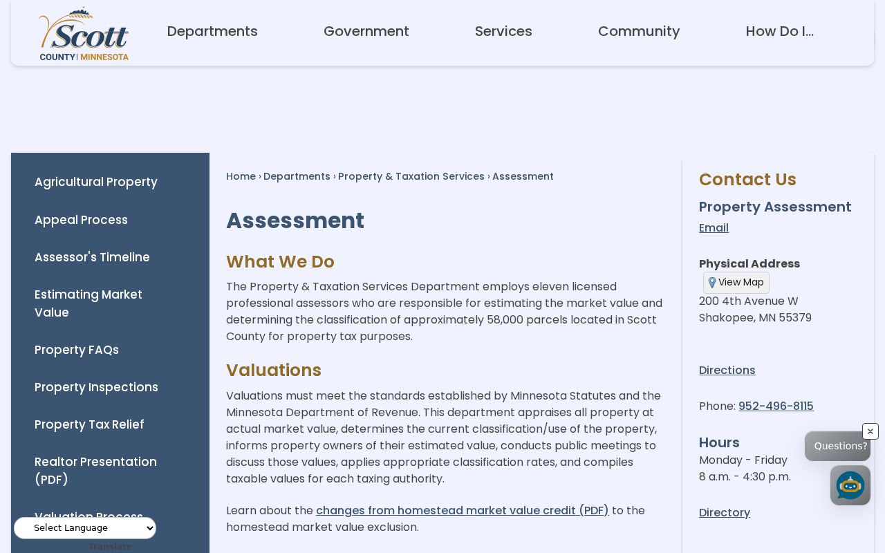
Assessment information can help explain a Prior Lake parcel record, but recorded land documents remain the appropriate source for a legal conveyance.
Older Prior Lake Street Clues
For an older address, change the search terms before assuming the record is absent. Spring Lake Village was platted in 1852, surveyed in 1857, and took the Prior Lake name after the railroad arrived in 1871. An older source may use the village, township, rural route, lake, farm, block/lot, or legal description rather than a modern street form. Scott County was formed in 1853, with the county seat in Shakopee, so early land and court-era records may also be organized through county offices.
The Scott County Historical Society offers county maps from 1874, 1880, 1898, 1913, and 1944, plus plats from 1854 through 1974. Its holdings include newspapers, church registers, cemetery plot maps, census material, family files, and obituary cards. It is at 235 Fuller St S in Shakopee, reachable at 952-445-0378 or info@scottcountyhistory.org. An appointment is recommended for particular archives, and distance research is available. For a dated household listing, the historical-directory collections are handled on the Prior Lake Directory Book page.
Note: A negative result before a system’s coverage era is an index gap, not proof that no Prior Lake address record ever existed.
Prior Lake Records Requests
When a portal does not show the needed public field, make a narrow existing-record request under the Minnesota Government Data Practices Act. For a parcel, ask for the public PID, legal description, payable-year setting, public building-feature fields, recorded-document references, and map link for a stated address or PID. For a permit, provide the address or PID, date range, permit number if known, work type, final or closed date, and requested public attachments.
For a map issue, request the identified SG3 layer or export and the map date. For a neighborhood geography question, ask for a plat, easement, boundary, or development record rather than a list of people. Scott County and City custodians must classify data and can redact protected fields. If access is denied, ask for the cited statute and whether segregable public material can be released. Those office, phone, mail, and email channels are the proper fallback for a defined Prior Lake records question.
Prior Lake Address Privacy Limits
A street directory cannot safely or accurately provide a complete list of people tied to every address. A taxpayer can be an estate, trust, or one of several taxpayers. A deed grantee may not be present at the property. A permit applicant can be connected to a project rather than the parcel itself. USPS only standardizes delivery information. The state’s driver-data system is private, protected voter information may be withheld, and Safe at Home addresses must not be reversed or published.
Minnesota Government Data Practices Act requests should ask for existing public records and allow the custodian to redact protected material. Scott County, City Hall, the library, and the Historical Society offer different access channels for a defined question, including online portals, office help, phone, email, mail, and archival research. Keep the source date, purpose, and uncertainty visible when comparing Prior Lake street records.
Lawful use. Use Prior Lake address records for personal, lawful research such as family history, estate questions, civic curiosity, or correcting a record. Do not use public data to stalk, harass, intimidate, or harm anyone.