
Prior Lake Neighbor Block Records
Public sources around a Prior Lake address answer different questions. Parcel geometry can show what lies next to a lot. Property information can show the parcel ID, legal description, current tax and valuation context, building features, and primary taxpayer display. A deed index can reveal a transfer or easement lead. None of those records alone establishes every occupant, a personal relationship, or a current household. Keep the evidence tied to the parcel, the record date, and the agency that created it.
| Source | What It Shows About a Block | Access |
|---|---|---|
| ScottGIS SG3 | Parcel shape, roads, shoreline, adjacent parcels, municipality, ZIP, precinct, school-district, and watershed layers | Online viewer; save the map date and layer context |
| Scott County Property Information | Parcel ID, legal description, building features, value and tax context, map link, and primary taxpayer display | Address or nine-digit Property ID; weekly reference display and office/request alternatives |
| Scott County Land Records | Deed, mortgage, easement, release, plat, lien, and related-document leads | RecordEASE subscription or in-person Land Records route |
| City planning and permit records | Development boundary, zoning, public permit work, date, and jurisdiction context | BS&A after 2018, older City records, or a narrow MGDPA request |
| Historical Society maps and newspapers | Former roads, plats, village or farm descriptions, dated events, and community context | Onsite or distance research; newspaper runs have gaps |
Use the table as a source map, not as a resident list. A taxpayer can be an estate, trust, or one among several parties. A permit applicant can be a contractor. A deed grantee records a transfer interest, while a voter address is tied to an election record. Prior Lake neighbors should be described only to the extent a dated, relevant record supports the statement.
Prior Lake Neighbors Start With Parcel Geography
Prior Lake’s mailing area reaches beyond the municipal city. The City planning material says the post office serves the City, the Shakopee Mdewakanton Sioux Community, Credit River Township, Spring Lake Township, parts of Cedar Lake Township, Savage, and Shakopee. A mailing city is therefore not enough to select a custodian. Test the exact address in USPS, the parcel map, and the county property system before sending a request to a City or township office.
The first two digits of a Scott County Property ID offer a useful local clue: 25 indicates the City of Prior Lake, 03 Cedar Lake Township, 11 Spring Lake Township, 26 Savage, 27 Shakopee, and 49 Credit River Township. The prefix is only a triage aid. Confirm it in SG3 and the legal description, especially near a municipal line or on property connected to the Shakopee Mdewakanton Sioux Community, where the City says permits are handled by SMSC.
This geographic check is often more useful than a name search. A road centerline, drainage ditch, lake, railroad right-of-way, shared driveway, or access easement can make two sites look adjacent without sharing the same jurisdiction or plat history.
Note: Preserve both the USPS return ZIP and the map municipality because each is useful, but neither substitutes for the parcel’s legal record.
Map a Prior Lake Neighbor Block
ScottGIS SG3 is the starting point for an immediate block question. Its official layers include parcels, municipalities, ZIP Codes, polling precincts, school districts, and watershed boundaries. The viewer’s documented tools include query, drawing, buffer or parcel selection, and distance or area functions. The precise live field labels were not captured in the research, so use the current viewer controls without assuming a particular search box will remain unchanged.
- Standardize the street address with the USPS ZIP Lookup, keeping unit and street-suffix details with the result.
- Locate the parcel in SG3, then save the parcel shape, municipality, ZIP layer, precinct, road or shoreline relationship, and map date.
- Select surrounding parcels or use the buffer tools. Record adjacent parcel IDs, legal descriptions, plat or subdivision labels, and any visible right-of-way or boundary feature.
- Open each parcel in Property Information. If a transfer, plat, or access question remains, use RecordEASE or Land Records for the specific recorded-document lead.
For a full named-street trail rather than one block, the Prior Lake Street Directory follows the address-record sequence in more detail. A map relationship remains geographic evidence. It does not establish a social relationship or an unrecorded occupancy claim.
Prior Lake Neighbor Boundary Checks
Two nearby addresses may fall in different municipalities, tax jurisdictions, school districts, election precincts, or postal areas. The City’s annexation material adds a local example: South Shore and Vergus areas can remain township areas while using Prior Lake postal service, and addresses did not necessarily change. A current map layer may also differ from the jurisdiction on the date of a historical document.
For a historical block, compare the current parcel with the Historical Society’s 1854, 1880, 1898, 1913, 1944, and later map or plat holdings. A present street name may postdate the legal description. Lake frontage may have been replatted. A lot can be described by block and lot, metes and bounds, or a former road alignment. Search both the present address and the legal description before claiming that a past record belongs to the modern block.
Prior Lake Community Context Around a Block
Civic resources can explain a block’s public setting without supplying a member roster. The Prior Lake Association provides lake-safety, water-quality, volunteer, fireworks, boat-parade, and event context. The Chamber’s public directory supports category and keyword searching for businesses, with print and sort views. Neither resource is proof that a named contact lives at a nearby address. No official citywide directory of neighborhood associations or private HOA rosters was located in the research.
| Public resource | Useful block context | Appropriate limit |
|---|---|---|
| Prior Lake Association | Lake events, stewardship, volunteers, fireworks, and boat-parade history | Its public presence does not expose a member roster |
| Prior Lake Chamber directory | Business categories, keywords, public contact, and business-address context | A listed contact or address does not establish a nearby residence |
| Scott County Historical Society | Newspapers, church and cemetery files, maps, plats, and named community events | Use dates and original sources before drawing a connection |
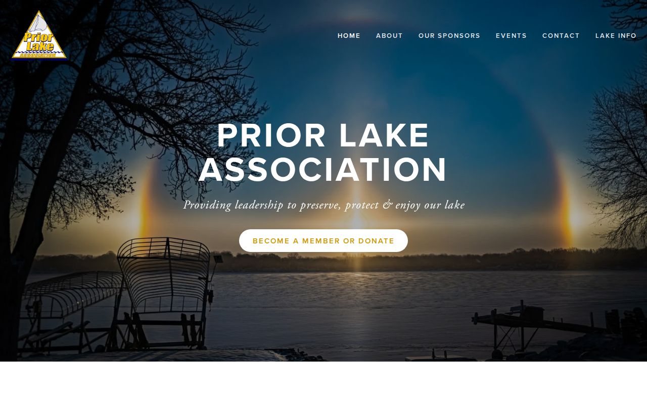
The Prior Lake Association’s public home page illustrates the community-event and stewardship context available for a neighbor question.
Use a newsletter, event notice, public improvement project, or historical newspaper item as context for a place. Do not turn community participation into a household database.
Prior Lake Neighbors: Official Records
Official land and map records describe a defined government record at a given time. Commercial neighbor tools may combine data from many sources, but their match logic, update timing, and correction path can be unclear. For a Prior Lake block question, begin with the parcel map and the responsible custodian, then note what the source actually proves. That approach leaves less room for a bad name match or an old address to become a false claim.
| Question | Official record route | Commercial category limit |
|---|---|---|
| What parcel borders this address? | SG3 parcel geometry, plat, and legal description | May show an address grouping without the parcel or boundary basis |
| What public transfer record relates to it? | Land Records or RecordEASE document lead | May omit the source date, document scope, or imaging limit |
| Which public body has jurisdiction? | SG3 layers, PID, planning material, and legal description | May treat the mailing city as the municipality |
Use a source date, parcel ID, map export, document number, and custodian response when a result needs later correction. Those details make a geographic conclusion testable.
Prior Lake Voter Data Limits
Public voter data under Minn. Stat. §201.091 includes name, address, year of birth, voting history, and a phone number if supplied, while ballot choice remains secret. The statute restricts use to elections, political activities, or law enforcement. It also requires identification and a written statement for the relevant requests, bars the state from publishing a searchable Internet list, and permits safety-based withholding. These rules prevent a block-level list from becoming a general neighbor shortcut.
MNVotes is the individual registration-status route. The official registered-voter-list form offers geography and format choices, but it requires registered-voter certification, a stated lawful use, and fees that vary by geography. For a precinct question, pair the election date with the SG3 precinct layer because boundaries can change after annexation or redistricting.
Prior Lake Public-Safety Limits
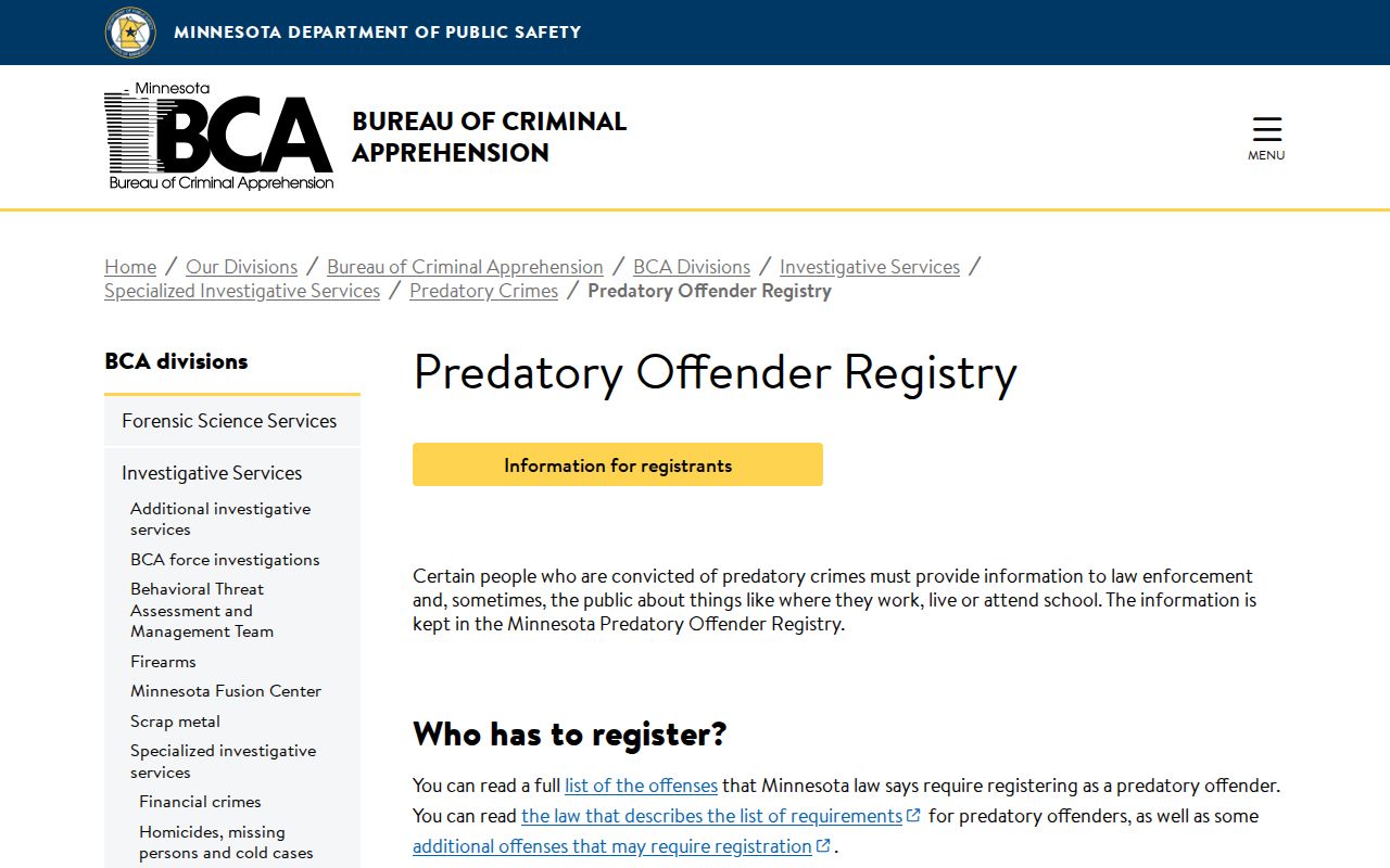
Minnesota BCA guidance says most predatory-offender registry information is not public. Public exceptions are narrow, including certain people who are noncompliant for more than 30 days and people subject to a public-notification requirement. The public material is for locating purposes. It is not a complete registry and should not be used to build a generalized map or list of Prior Lake neighbors.
The BCA public-information limits page shows the official boundary around the limited public-notification material.
A booking, a court filing, a conviction, and a notification are different record states. If a safety concern is immediate, use 911. For a non-emergency concern in Prior Lake, the City lists police non-emergency contact at 952-445-1411.
Protected Prior Lake Neighbor Addresses Stay Protected
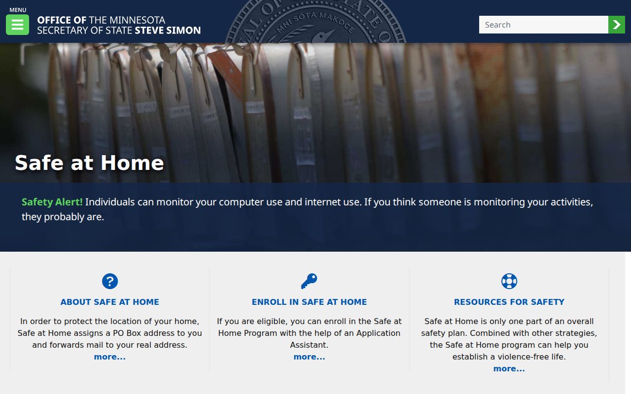
Minnesota Safe at Home provides a substitute post-office box and mail-forwarding service for participants facing domestic violence, sexual assault, stalking, or other safety fears. Program data is protected under chapter 5B and Minn. Stat. §13.805. Do not try to reverse a substitute address into a participant’s residence. Other protected categories can arise in voter, driver, court, vital, law-enforcement, and municipal-investigation data.
The Minnesota Safe at Home program page is the official source for the address-confidentiality route shown with this Prior Lake neighbor research.
For a record request, ask the custodian for existing public portions of a defined parcel, permit, map, or document. Do not ask for a new list of private people, and do not seek protected information through a different route.
Note: A shared street, parcel edge, surname, ZIP code, or event photograph does not prove that two people are connected or live beside one another.
Privacy Limits for Prior Lake Neighbors
Minnesota’s Government Data Practices Act presumes government data are public unless another law classifies them differently. It does not require an agency to create a fresh database or answer a broad request for every person around an address. Under Minn. Stat. §13.03, request the existing public record with a parcel ID, address, date range, map layer, permit number, or document number. Inspection of public data is free, while copies can carry permitted costs.
If a custodian says data are not public, ask for the statutory classification and whether a redacted public portion exists. Describe a parcel record as a parcel record, a court record as a docket or document record, and a historical map as dated geography. That language keeps Prior Lake neighbor research accurate without presenting private data as a block profile.
Lawful use. Use Prior Lake parcel and community records for personal, lawful research. Do not monitor, contact, threaten, stalk, harass, or publish protected details about any person.